
I'm trying to summit all 58 Colorado 14ers — mt antero 14er hike report
I'm trying to summit all 58 Colorado 14ers — mt antero 14er hike report
I'm Rodney from More Dirt More Distance. This write-up recaps my attempt on the mt antero 14er hike where I drove the 4x4 road up to tree line, camped, and then made the early-morning push to the summit. If you're looking for a practical, first-person breakdown of route options, camping spots, trail conditions and tips for Mt Antero, read on — I walk through what worked (and what surprised me) so you can plan your own climb.
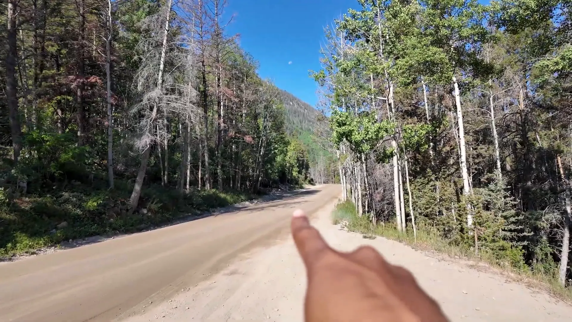
Table of Contents
- 🚗 Getting there and starting points
- 🏕️ Campsites, water, and Brown Lake
- 🗺️ Route overview and trail split
- 🥾 The hike: switchbacks, ridge, and route-finding
- 🌫️ Summit day realities: weather, smoke, and timing
- 📷 Gear I used and a quick tech note
- ❓ FAQ about the mt antero 14er hike
- 🏁 Final thoughts
🚗 Getting there and starting points
The approach for the mt antero 14er hike is flexible depending on your vehicle. If you have only two-wheel drive, park at the little pullout about thirty yards from the trailhead and expect a roughly 15.5-mile round trip. If you have a 4x4 (like I did), you can drive up the Forest Road and shave a lot of distance off the hike — I drove to about 12,000 ft and set camp near tree line, making the climb about seven miles round trip.
🏕️ Campsites, water, and Brown Lake
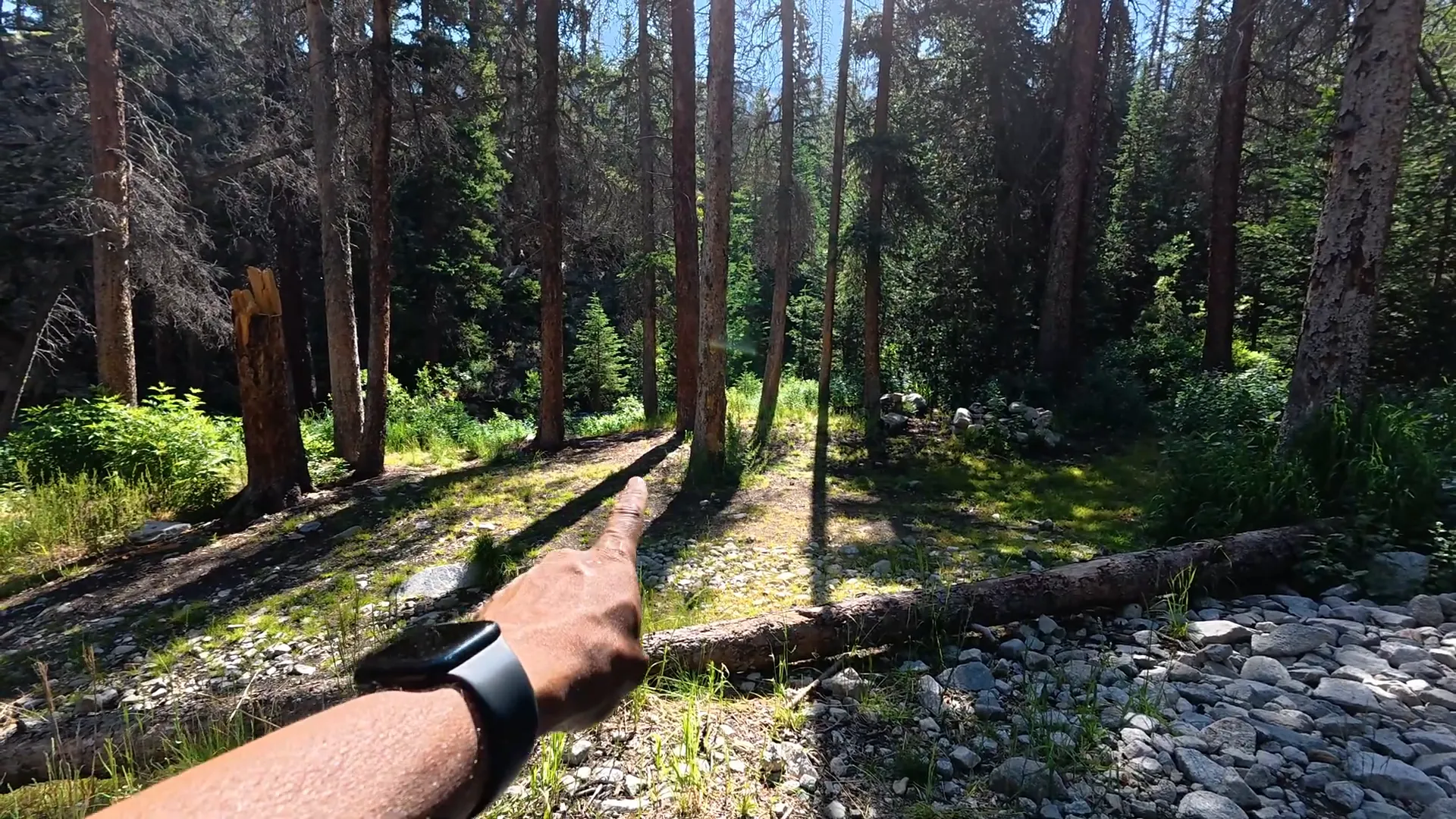
There are several dispersed campsites along the road and near the creek. The spots right below tree line are my recommendation: flat pads, a few fire rings, and the creek for cooling off. Note: I didn't find any formal facilities, bathrooms, or maintained water sources beyond those dispersed areas, so plan accordingly. Brown Lake is visible from the road and looks tempting for a quick side trip — I recommend checking it out if you have time and daylight.
🗺️ Route overview and trail split
About 2.7 miles in the road splits: left (Forest Road 278) goes to Mount Antero, right (FR 277) leads to Baldwin Lake. The lower section (first mile) contains the roughest, rockiest driving and hiking. After that it eases into a series of switchbacks that make the ascent manageable. From the end of the vehicle road, expect roughly 500 vertical feet of classic fourteener scrambling and route-finding to the summit ridge.
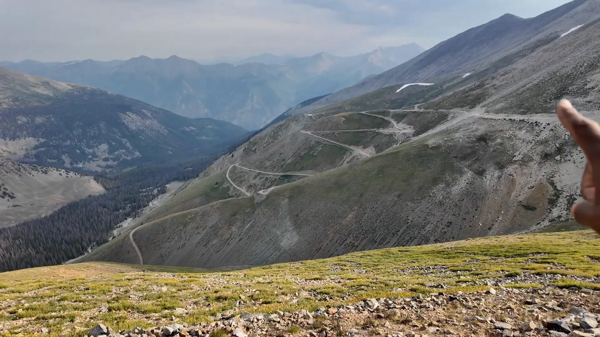
🥾 The hike: switchbacks, ridge, and route-finding
The lower road contains nine lower switchbacks that ease the grade. Once the road levels out you get a breather, but then the upper switchbacks pick up and the grade steepens. The final ridge is where navigation becomes the real challenge — the path can be faint, rocks and snow patches obscure boot tracks, and you’ll occasionally need hands-on scrambling. Follow cairns when you can, look for worn lines between rock bands, and be comfortable choosing your best line if the trail disappears.
Pros and cons
- Pro: Choose-your-own-adventure — drive higher to shorten the hike or start lower for a full 15.5-mile day.
- Pro: Road walking and a lot of switchbacks make the early part less technical than many fourteeners.
- Con: Vehicle traffic (jeeps, side-by-sides, bikes) can reduce the solitude on busier weekends.
- Con: The summit ridge requires route-finding and loose rock scrambling — not a simple stroll.
🌫️ Summit day realities: weather, smoke, and timing
I camped at tree line, broke camp in the morning, and made the summit push early. Two points to stress: wildfires can produce heavy smoke that reduces visibility (it did on my summit), and afternoon storms are common — always be off exposed ridgelines before thunderheads develop. I found my calves complaining early, so an easy warm-up pace and patience paid off.
📷 Gear I used and a quick tech note
I shot some fun summit footage with an Insta360 X5 and a Bullet Time selfie stick — both are great for creative summit shots if you like documenting the climb. Practical gear notes: good hiking boots, trekking poles for the loose sections, plenty of water (no guaranteed sources after camp), sunscreen, and layers for wind and sudden temperature changes.
❓ FAQ about the mt antero 14er hike
How long is the hike from the vehicle road end?
Driving to tree line reduced my hike to about seven miles round trip with roughly 3,500–4,000 feet total elevation gain from the roadhead I used. From the lower parking it’s about 15.5 miles RT.
Is the route technical?
The road sections are non-technical but steep. The final ~500 ft to the summit involves loose rock and some scrambling; route-finding skills help. Not a technical climb, but not completely trivial.
When is the best time to go?
Summer and early fall are typical, but watch for afternoon storms. Weekdays or early mornings reduce traffic on the road.
Are dogs allowed?
Dispersed camping and public land rules vary; if you bring a dog, follow Leave No Trace, keep them under control, and bring water.
🏁 Final thoughts
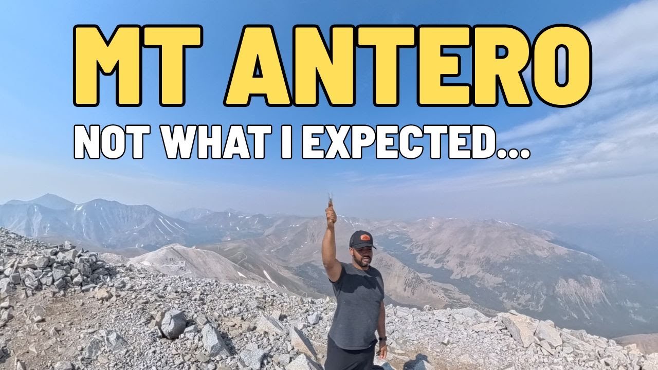
Mt Antero makes a solid early-season fourteener: flexible approach, a manageable road-and-switchback ascent, and a challenging-but-doable final ridge. I got number fourteen of fifty-eight checked off the list — and even with smoky summit views, I’d call it a success. If you go, plan your vehicle, camp smart at tree line, start early, and be ready for some loose-rock route-finding as you finish the mt antero 14er hike.
"I got number fourteen done."