
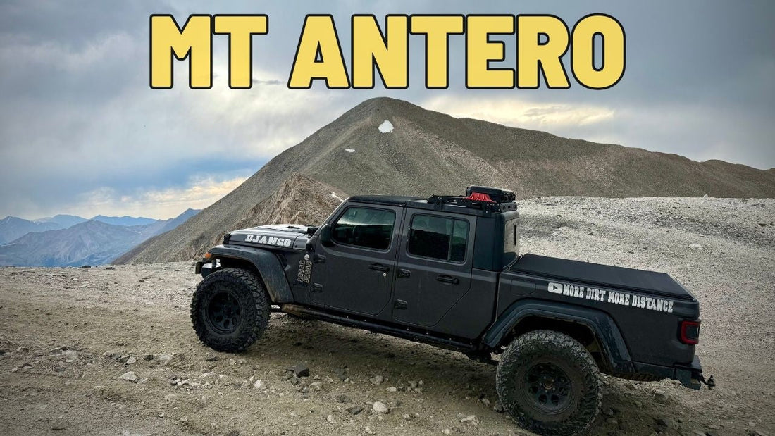
What Happens When You Take a Jeep to 14,000 ft? Mt Antero Off-Road Adventure
What Happens When You Take a Jeep to 14,000 ft? Mt Antero Off-Road Adventure

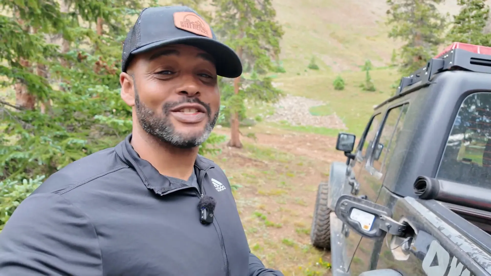
I'm Rodney from More Dirt More Distance. In this post I break down my mt antero off-road trip in my Jeep Gladiator, Django — a day that included a steep drive to the Antero trailhead, a side trip down to Browns Lake, an overnight camp, and a close call with fuel. If you liked the route, the video I shot documents the whole run and the hike I'll do up the fourteener next time.
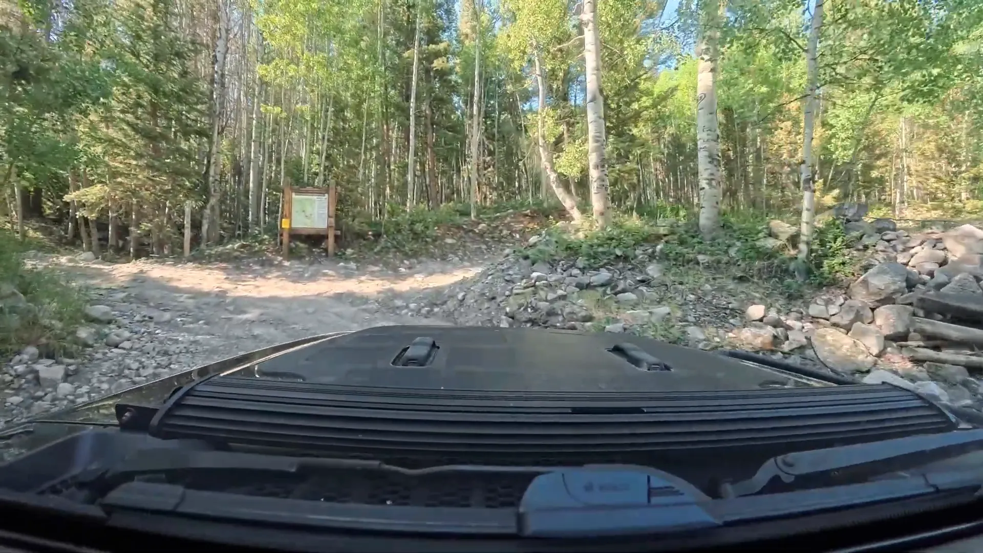
Table of Contents
- Trip overview: goals and route
- Trail conditions & what to expect
- Camping options and Browns Lake detour
- Vehicle setup: tires, gearing, and performance
- The top, weather, and safety notes
- Fuel lesson: bring backup
- Key takeaways
- FAQ
- Wrap-up
Trip overview: goals and route
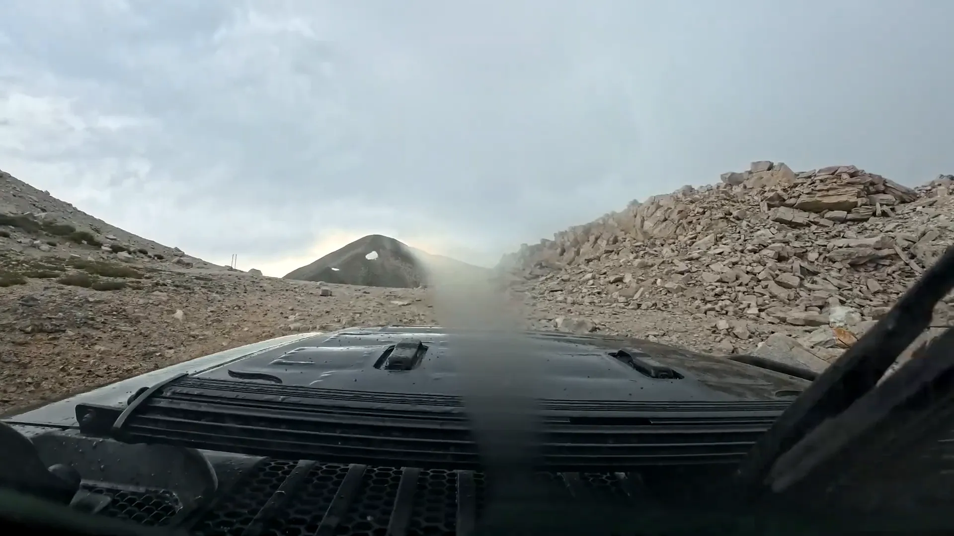
The plan was simple: drive up the mt antero off-road trail to scout the area, camp, then hike Mount Antero the next day as part of my goal to summit all 58 Colorado 14ers. I wanted to also detour down to Browns Lake to check camping options and the shoreline. The route starts at a staging area just before the left turn onto the trail and climbs immediately — expect steep, rocky sections early on.
Trail conditions & what to expect
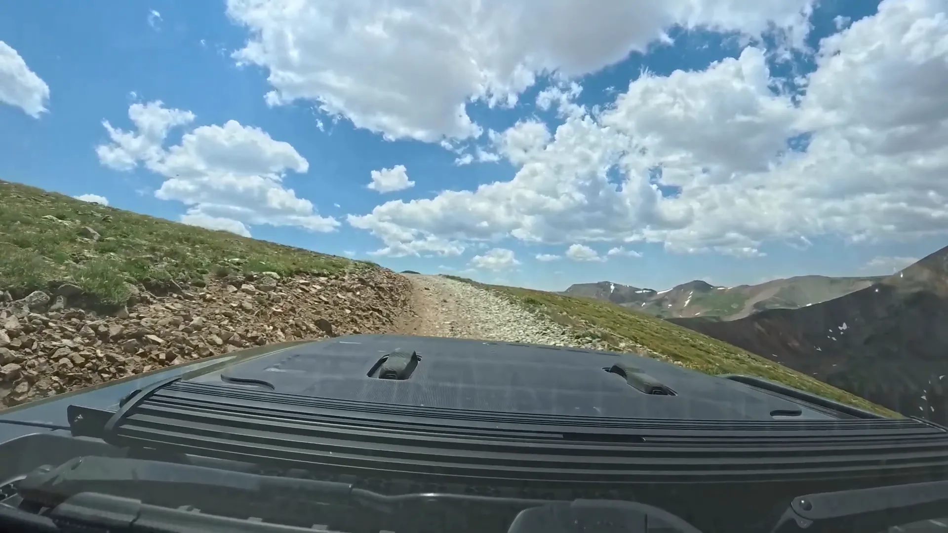
This mt antero off-road trail is rated moderate. There aren't big obstacles, but the combination of narrow shelf roads, loose rock, and continuous climbing makes it feel tougher than the rating suggests. Key points:
- First mile: the roughest — large rocks and steep pitches.
- Switchbacks: several sets of switchbacks allow passing, but you'll still want to stay slow and inside on turns.
- Exposed shelves: some sections feel airy. If narrow, exposed roads bother you, this may not be your favorite trail.
- Off-camber and banked sections: I hit one section that was heavily banked with exposed roots on one side — tricky but manageable with care.
"This trail is narrow and it is rocky and rough... it's so steep."
Camping options and Browns Lake detour
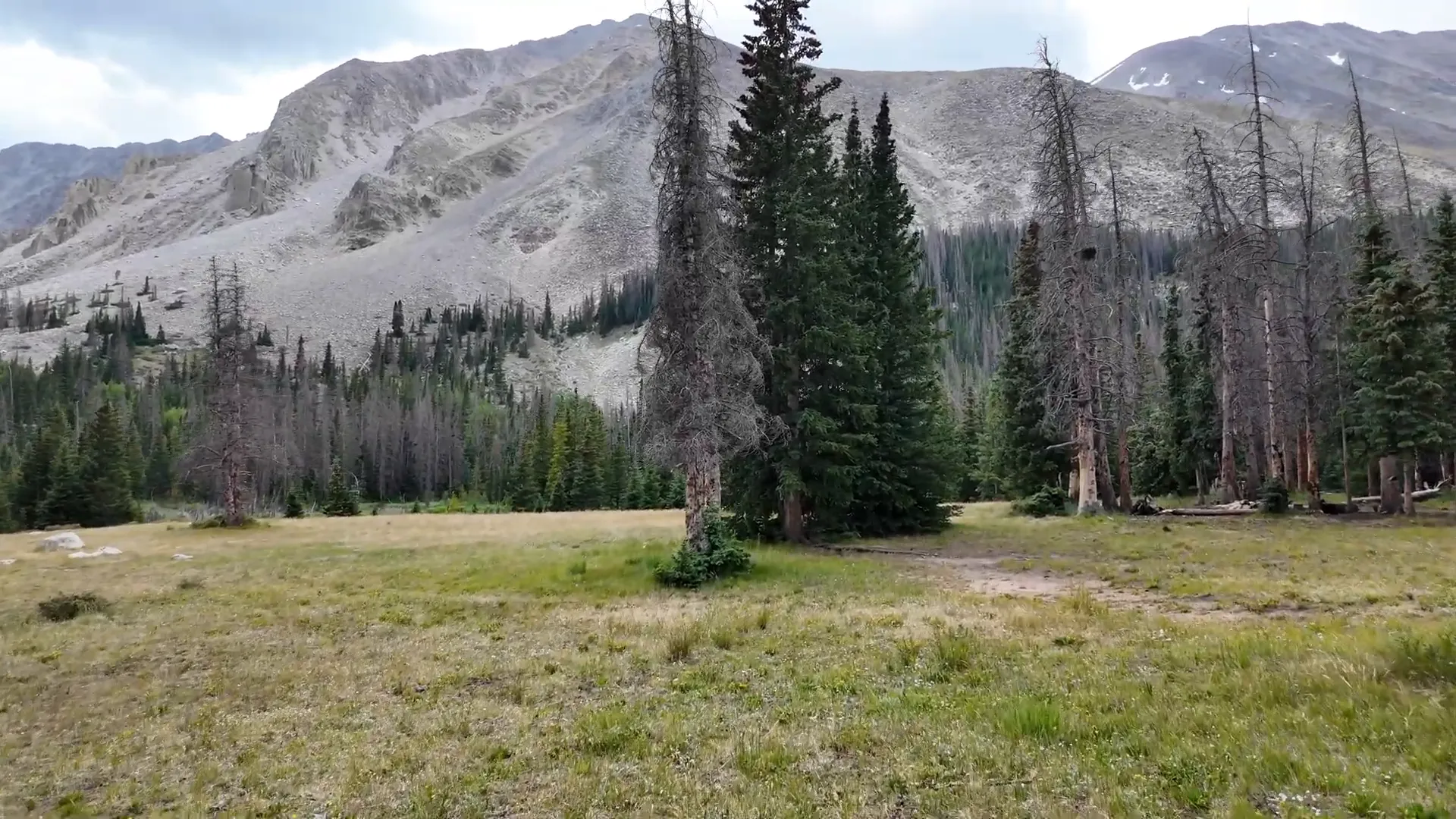
About 2.7 miles in the trail splits. Left (Forest Road 278) heads to Mount Antero; right (FR 277) goes to Baldwin Lake. I continued toward Browns Lake via FR 278A. Browns Lake is a short hike from where the road ends — very scenic and a great camping spot if you can tolerate mosquitoes near the water.
- Dispersed camping: there are multiple flat pads and established fire rings around creeks — many can handle one or more vehicles.
- Best campsites I found: a large flat spot near a stream with an established fire pit — great for groups.
- Downsides: some sites show regular use (trash/tent stakes) and mosquitoes near the lake can be intense.
Vehicle setup: tires, gearing, and performance
I upgraded from 35s to 37s about a year ago and ran them un-regeared on this trip. For the mt antero off-road route, 37s worked fine, but there's a tradeoff:
- Off-road performance: the 37s helped over rocks and boulders — I didn't feel like they were necessary but they gave confidence.
- Street driving & gearing: without regearing, the Gladiator struggles on long highway inclines — RPMs climb and it feels strained.
- Regearing: I still plan to regear; it should let the Jeep crawl over boulders with less throttle and improve highway drivability.
The top, weather, and safety notes
I pushed up the second set of switchbacks to the top of the trail to get a lay of the land. By the time I reached the upper trailhead it was thundering and lightning — not the time to be anywhere exposed. If you're at altitude, watch the weather closely and prioritize getting below the treeline before storms roll in.
Fuel lesson: bring backup
I learned a classic overconfidence lesson: I thought I had enough fuel after a dodgy pump in Buena Vista and almost ran out on the way back. Four-low at altitude eats fuel faster than expected. I carry extra gasoline — three gallons saved the day. If you go mt antero off-road, bring backup fuel and a working transfer setup.
Key takeaways
- mt antero off-road is a beautiful drive but expect narrow, rocky roads and steep climbs.
- Air down for comfort and traction; use 4-low on steep switchbacks.
- Carry emergency fuel and check stations along the way; altitudes and 4-low burn through gas faster.
- Scout for campsites near Browns Lake if you want water access — but plan for mosquitoes.
- Watch the weather at elevation; lightning and storms can arrive fast.
FAQ
Is a high-clearance 4x4 required for the mt antero off-road route?
Not strictly required, but highly recommended. The trail has rocks, narrow shelves, and steep pitches. A high-clearance 4x4 (and experience with switchbacks and off-camber spots) makes the trip safer and more enjoyable.
Do you need to air down and what PSI did you run?
I aired down for comfort and extra traction. Exact PSI depends on tire and load, but a modest reduction from highway pressure helps without increasing risk of damage. If you're unsure, consult tire manufacturer guidance.
Can you drive all the way to Browns Lake?
You can drive to the end of the road above Browns Lake, but the final approach to the shore is a short hike. There are several established campsites near the creek and lake — great if you're willing to carry gear a short distance.
How tucked away are the campsites and is there cell service?
Many dispersed sites are fairly remote with limited or no cell service. Bring GPS coordinates (I include them in my trip notes) and plan for self-reliance.
Any final tips for mt antero off-road travelers?
Go slow, know your vehicle limits, and check weather before you head up. Bring emergency fuel, keep a clean campsite (pack out trash), and allow extra time to enjoy the views — they’re worth the effort.
Wrap-up
The mt antero off-road route was challenging in places, incredibly scenic, and full of great camping options — Browns Lake is a highlight. My Jeep handled the trail well with 37s, but regearing and fuel planning will make future trips smoother. If you're thinking of taking this route, plan ahead, keep it slow, and enjoy the ride.