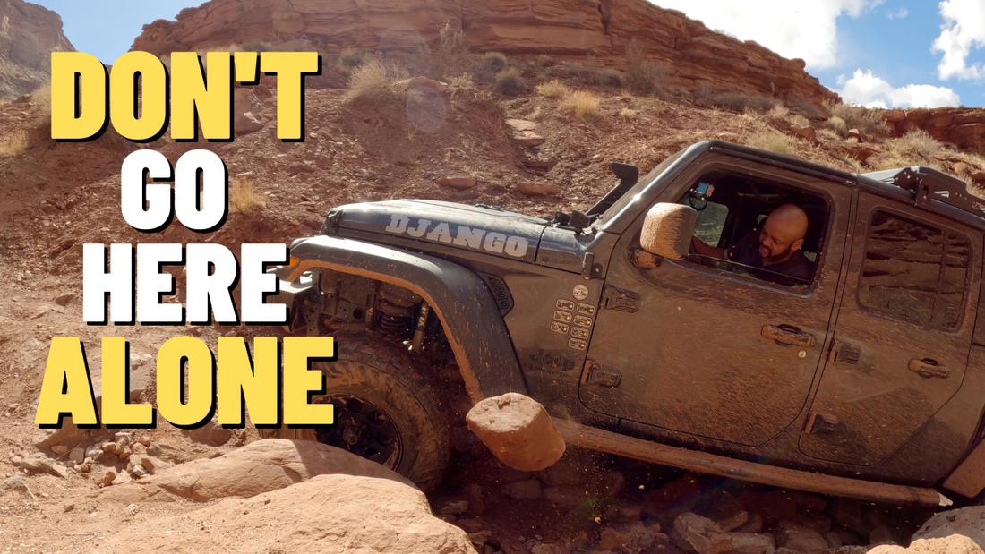
I spent 3 days on a solo overlanding trip in Utah exploring Lockhart Basin the most remote trail in Moab. Lockhart Basin is a great trail if you want to get away from the crowds in Moab and spend a few days off the grid. I would suggest spending at least 2 days on the trail to ensure you have plenty of time enjoy the amazing views and solitude.
TRAILS
Hurrah Pass
Trailhead: 38.466286, -109.600929
Hurrah Pass is an easy 3 mile trail with amazing views of the Colorado River and Canyonlands National Park.

Chicken Corners
Trailhead: 38.4820928, -109.625034
Chicken Corners is a moderate 11 mile trail. The only sketchy area is at chicken corners the trail was slightly off camber, rutted, and muddy. There are incredible views of the Colorado River, Deadhorse State Park, and Canyonlands National Park Island in the Sky.


Lockhart Basin
Trailhead: 38.4292023, -109.6897101
Lockhart Basin is a 37 mile level 6 difficult trail. If you're starting from Moab traveling south to the Needles District of Canyonlands National Park the first mile of the trail is the most difficult.


The hardest section of the trail is the final climb out of the basin at the 1 mile mark. The belly of my Jeep Gladiator got stuck several times. I had to stack A LOT OF ROCK to clear it.


There are a handful of obstacles after this point, but for the most part the remainder of the trail is moderate.


Around the 21 mile mark you descend down to the canyon floor and the trail goes from a slow and rocky to fast and wide open.

There are several nice BLM Campsites in area as well as several dispersed campsites along Lockhart Basin.
CAMPING
There are formal BLM campsites near Moab along Kane Creek Road and Kane Springs Road. The site are conveniently located if you want to explore Hurrah Pass and Chicken Corners, but still want to be close to Moab.
If you want visit the Needles District of Canyonlands National Park there are a couple of campsites on the south end of Lockhart Road.
There are no formal campsites along hurrah pass, chicken corners, and Lockhart Basin, but there are dispersed campsite along Chicken Corners and Lockhart Basin.
BLM CAMPGROUNDS
Kane Creek Road
Kane Springs Road
Lockhart Road
DISPERSED CAMPSITES
This a nice private campsite just off of Catacomb Spur trail a stones throw from Catacomb Rock. The campsite is big enough for several vehicles and there are 2 established fire rings.
Location: 38.44632, -109.66193


Large dispersed campsite on Lockhart Basin Rd 13.8 miles from the trailhead traveling from north to south. This campsite is large enough for several vehicles and a short distance off of the main trail. The view is amazing, but you are exposed to the elements.
Location: 38.36967, -109.69942

This campsite has the best view in my opinion. There is space for several vehicles. Traveling from north to south this campsite is 18.3 miles from the trailhead. The campsite is along the road, so you may have to deal with trail traffic.
Location: 38.34663, -109.67282

This campsite is at the southern end of Lockhart Basin closer to the Needles District entrance to Canyonlands National Park.
Location: 38.21580, -109.67974

The road is well maintained the further south you travel on Lockhart Basin. Any vehicle can travel on it, but this campsite is a sandy area along Indian Creek. The campsite is 3 miles from the start of Lockhart Basin heading south to north. This area has a mix of formal and dispersed campsites and is a good option if you want to explore the Needles District of Canyonlands National Park without have to go through the hassle of trying to reserve a campsite in the national park.
There is also a new surprise a small waterfall and sandy beach!
Location: 38.21266, -109.67886


