Silver Basin, Uncompahgre National Forest
Nearest City: Ouray, Colorado
Directions: Head south on State Highway 550 through Ouray, CO. Just outside of town turn right on to Canyon Creek Road (County Road 361). Stay on County Road 361 for approximate 6 miles. Turn left on to FR869 (Imogene Pass Road Trailhead (Northernmost). After crossing Sneffels Creek go right on to FR869.3A.
Warning: Sections of County 361 are narrow with steep drop offs!
Forest Service Road - FR 869.3A
Trailhead GPS Coordinates: 37.97537, -107.74526

Trail Length: 1.9 Miles
Trail Type: Out & Back
Free Dispersed Camping
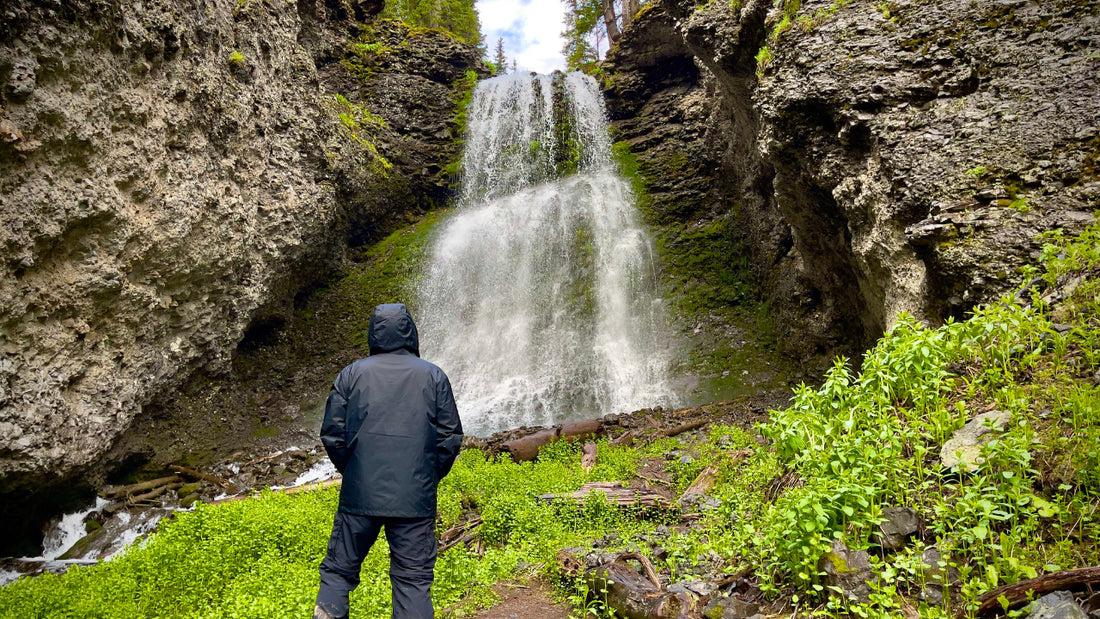
- .9 mile - Fork in the road to continue on the Silver Basin Jeep Trail go to the left. If you go to the right you'll find 3 established dispersed campsite, and the incredible waterfall in my Youtube video.


For an incredible view of Yankee Boy Basin hike .3 miles down the road that turns right and crosses the small stream.

- 1.1 miles - Take a right turn to continue on the Silver Basin Jeep Trail. If you turn left it takes you to an abandoned mine with an established dispersed campsite.

- 1.4 miles - To your right along the edge of the Glacial Lake you'll find an established dispersed campsite.

- 1.9 miles - There isn't an established campsite at the end of the road, but if you visit early enough in the year the upper Glacial Lake will be full!

Paid Forest Service Campgrounds:
- Angel Creek Campground - https://www.fs.usda.gov/recarea/gmug/recarea/?recid=32524
- Thistledown Campground - https://www.fs.usda.gov/recarea/gmug/recarea/?recid=32818
FYI: There are regular Jeep and Side-by-side tours on this trail.